Northern Arizona · September 21, 2026 · By Shannon Roberts
Sunset Crater Is Open—But the Usual Road Is Closed
Sunset Crater remains open during the September 21–October 21 road closure. Here is the Wupatki detour, RV warning and campground update.
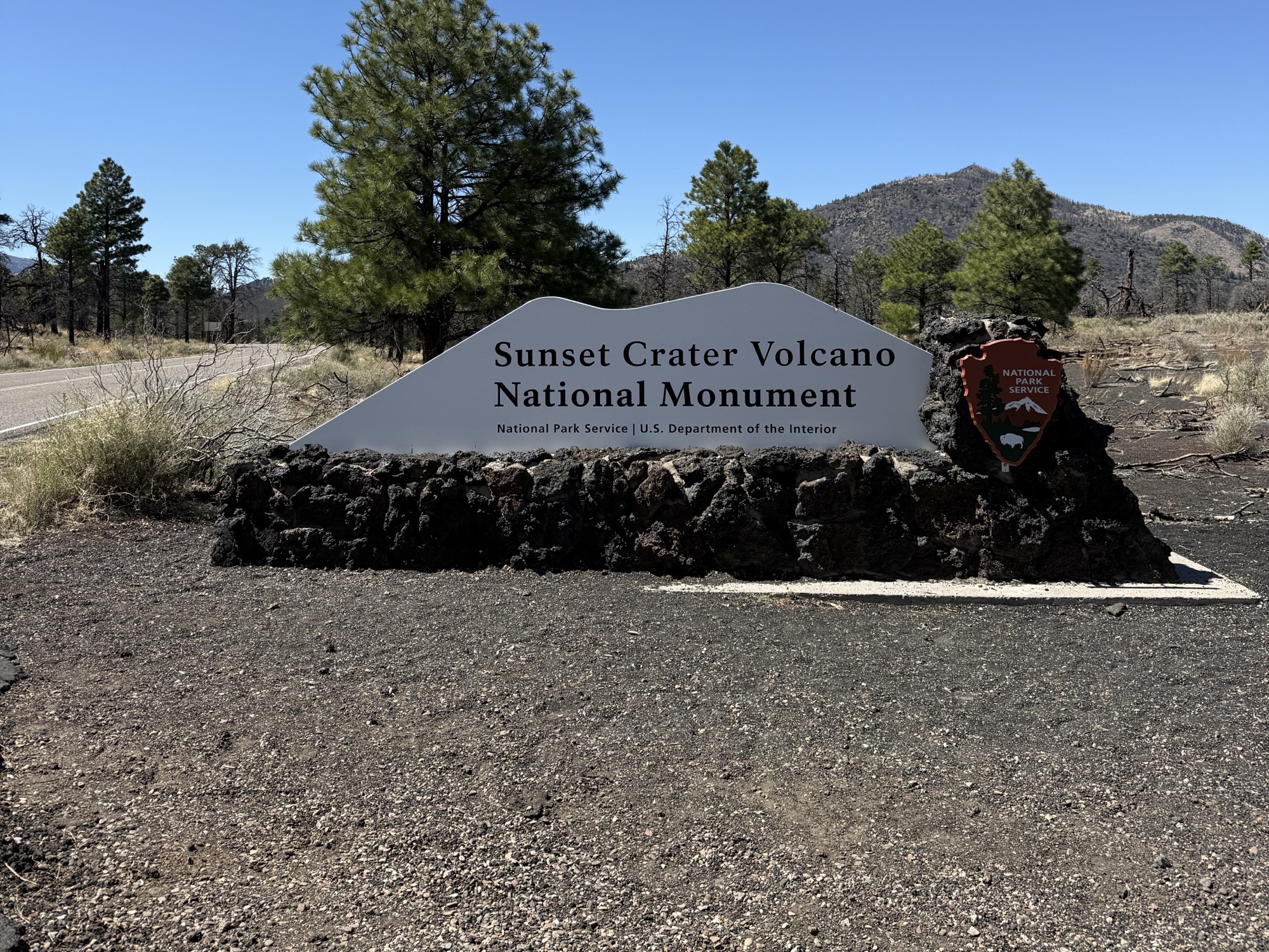
Sunset Crater Volcano National Monument is open. Its visitor center and trails are open. What changed today is the way visitors reach them.
From September 21 through October 21, 2026, Forest Road 545 is closed to vehicles between the southern U.S. 89 approach—the side most people use from Flagstaff—and the Sunset Crater entrance kiosk near Bonito Campground. The National Park Service expects the road to reopen October 22.
During the closure, visitors must approach Sunset Crater from the north through Wupatki National Monument. It is a longer drive, but it is also one of the most beautiful drives in Northern Arizona.
This update was last verified September 21, 2026, using National Park Service and Recreation.gov information. Roadwork schedules and access conditions can change, so check the official alert before leaving.
The quick answer
Is Sunset Crater closed? No. The monument, visitor center and trails remain open. What is closed? Forest Road 545 is closed between the southern U.S. 89 approach and the entrance kiosk near Bonito Campground. How long is the closure? September 21 through October 21, with reopening expected October 22. How do I get there? Enter the scenic loop from the Wupatki side of U.S. 89 and drive south through Wupatki National Monument. How much longer will it take? The two visitor centers are about 19 miles, or 30 minutes, apart. Your total added time depends on where you start, traffic and how often you stop. Can RVs and trailers use the detour? The paved Wupatki route is the appropriate approach. Forest Road 776 is unpaved and the National Park Service says it is not suitable for RVs or trailers. Are nearby campgrounds open? Bonito Campground and the O’Leary Group Site closed early on September 20 because of the roadwork.
What part of Forest Road 545 is closed?
Forest Road 545 is the paved scenic road connecting Sunset Crater Volcano and Wupatki national monuments. The temporary closure affects the short southern section between U.S. 89 and the Sunset Crater entrance kiosk near Bonito Campground.
This is the entrance most visitors coming from Flagstaff normally use. Under ordinary conditions, drivers turn from U.S. 89 onto the loop road and reach the Sunset Crater visitor center in about two miles. That direct approach is unavailable during the project.
The closure is needed for culvert installation and drainage work following flooding impacts associated with the Tunnel Fire. It is a road-repair project, not a monument closure.
How to reach Sunset Crater during the closure
From U.S. 89, continue north to the Wupatki entrance near mile marker 444. Turn onto the paved loop road and follow Forest Road 545 south through Wupatki National Monument to Sunset Crater.
The National Park Service says it is about 19 miles, or 30 minutes, between the Wupatki and Sunset Crater visitor centers. That is not a universal estimate of how much extra time every trip will take. Someone leaving downtown Flagstaff, Doney Park, Cameron or Page will each have a different total drive.
Navigation apps can be unreliable in this area and may suggest unfamiliar dirt roads. Stay on the paved monument road unless the National Park Service or a ranger directs you otherwise.
Do not treat Forest Road 776 as an RV shortcut
Forest Road 776 may appear as an alternate route on a map, but it is unpaved. The National Park Service recommends a high-clearance vehicle and specifically says the road is not suitable for RVs or trailers.
For most visitors, the simplest plan is to use the paved Wupatki entrance, allow more time and enjoy the scenic loop. Cell service is intermittent around Wupatki, so download directions before leaving town.
What remains open at Sunset Crater?
The Sunset Crater visitor center and monument trails remain open during the roadwork. That includes access to the volcanic landscape and the developed trails around the Bonito Lava Flow.
Bonito Campground and the O’Leary Group Site are different. Both U.S. Forest Service recreation sites closed early on September 20 because of the roadwork. Do not arrive expecting to camp beside the Sunset Crater entrance during this closure.
There is no camping inside Sunset Crater Volcano or Wupatki national monuments. If you need a campsite, confirm a different location before driving out and do not rely on finding service after you enter the loop.
My local take: the Wupatki drive is worth doing anyway
The Wupatki approach is not merely an inconvenience. I recommend this drive even when both entrances are open.
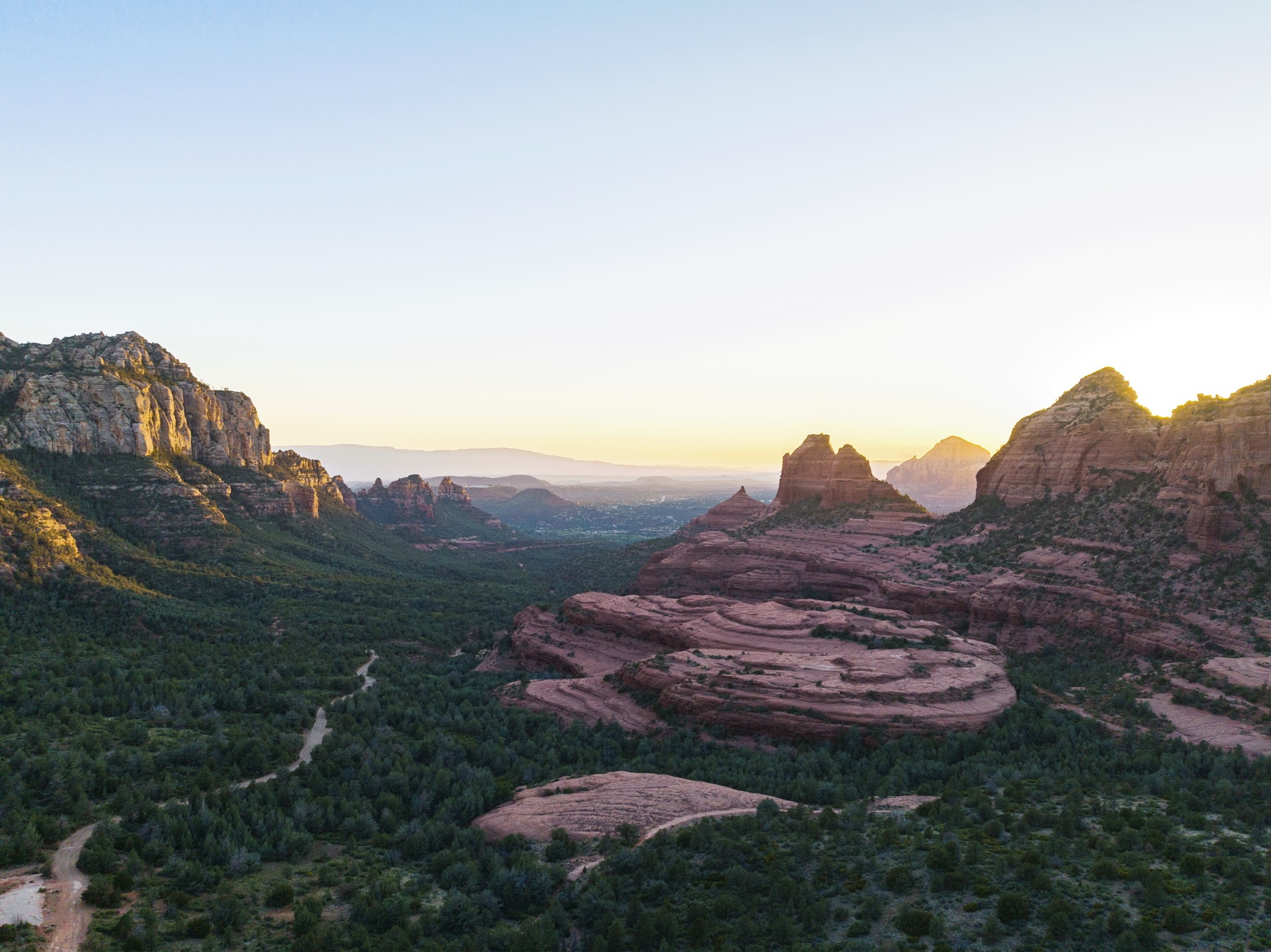
The paved road drops from the ponderosa forest and volcanic terrain around Sunset Crater into the open grasslands, red sandstone and wide Painted Desert views around Wupatki. The landscape changes dramatically in a relatively short distance. It is gorgeous, and the longer route makes much more sense when you treat it as part of the day rather than a delay between two points.
My kids love Wupatki, and I do too. Wupatki Pueblo is not simply a roadside ruin. It is an important ancestral place connected to living Indigenous communities, and it preserves evidence of a major center of trade, farming and community life.
My full Wupatki National Monument guide covers the cultural context, other pueblos and practical planning in more depth.
Stop for the ballcourt and blowhole
If you have time for one Wupatki stop, the main pueblo trail begins directly behind the visitor center. The half-mile round-trip route leads past the 104-room pueblo to a ceremonial ballcourt and a natural blowhole at the far end of the trail.
The blowhole connects to an underground network of narrow cracks in the limestone and sandstone. Changes in temperature and atmospheric pressure move air through that system, which can make the opening blow outward or draw air inward. The National Park Service describes the effect as the “breathing earth.”
Cool, dense surface air tends to flow down into the underground space. When surface air is warmer and less dense, air may move outward. The strength and direction can change with conditions, so two visits may feel completely different.
It is a small feature, but it is one of those places children remember. Stand on the designated trail, protect the site and resist the urge to drop anything into the opening. The ballcourt beside it is reconstructed in part, and together the pueblo, community room, ballcourt and blowhole make this much more than a quick photo stop.

A realistic plan for the day
If Sunset Crater is your priority, allow enough time to enter from the Wupatki side, drive the scenic road and reach the visitor center before it closes. The road itself is paved, but it is narrow and winding in places. Stop only at designated pullouts.
If your schedule allows, make the closure work in your favor:
Enter through Wupatki National Monument from U.S. 89.
Stop at the Wupatki visitor center and walk the main pueblo trail.
See the ballcourt and check whether the blowhole is drawing air in or pushing it out.
Continue south on the paved loop road to Sunset Crater.
Explore an open trail, then return the way you came while the southern road segment remains closed.
Bring water, sun protection and layers. Wupatki is lower, hotter and more exposed than the ponderosa forest around Sunset Crater. Weather can shift quickly, and there is no food service inside either monument.
Before you go
Check the official Sunset Crater road-closure notice.
Download your route before leaving because cell service is inconsistent.
Enter from the Wupatki side of U.S. 89 and remain on the paved loop road.
Do not take an RV or trailer onto unpaved Forest Road 776.
Do not plan to camp at Bonito Campground or the O’Leary Group Site.
Allow extra time for the drive, scenic pullouts and any Wupatki stop.
Check visitor-center hours and current alerts the morning of your visit.
Follow signs, barricades and ranger instructions even if an older map shows the road as open.
Frequently asked questions
Is Sunset Crater Volcano National Monument open right now?
Yes. As of September 21, 2026, Sunset Crater’s visitor center and trails remain open. The closure affects the usual southern access road, not the entire monument.
When will the Sunset Crater road reopen?
The National Park Service expects Forest Road 545 to reopen to vehicle traffic on October 22, 2026, after a closure running September 21 through October 21. That date is an expectation, so verify it before traveling.
Can I reach Sunset Crater from Flagstaff?
Yes, but not through the usual southern entrance during the closure. Drive north on U.S. 89, enter the loop road from the Wupatki side and approach Sunset Crater from the north.
Is the Wupatki route paved?
Yes. Forest Road 545 through Wupatki National Monument is paved. Forest Road 776 is an unpaved alternate that requires high clearance and is not suitable for RVs or trailers.
Are Bonito Campground and O’Leary Group Site open?
No. Recreation.gov says both sites closed early on September 20, 2026, because of the roadwork beginning the next day.
What is the Wupatki blowhole?
It is a natural opening connected to a large underground crack system. Temperature differences and atmospheric-pressure changes move air through the cracks, so the opening can either blow air out or draw air in.
What is the large circular area near the Wupatki blowhole?
It is the ceremonial ballcourt at Wupatki Pueblo. The blowhole and ballcourt are at the far end of the half-mile pueblo trail behind the visitor center.
Official sources
I will update this article if the National Park Service changes the route or reopening date.