Outdoors + Travel · October 21, 2026 · By Shannon Roberts
Chiricahua Is Now a National Park: How to Plan Your First Visit
Chiricahua became a national park on October 20, 2026. Here is what changed, what it costs, and how to plan a first visit to Arizona’s rock wonderland.
Arizona, Right Now · Part 1 of 5
Arizona has a new national park, and the scenery understood the assignment long before the name changed.
Yes, Chiricahua is now a national park. The National Park Service announced that the Chiricahua National Park Act became law on October 20, 2026. The former national monument in southeastern Arizona is now Chiricahua National Park. Entry is currently free, but check the latest NPS fees and pass requirements before traveling and budget for a possible future entrance fee.
I’m Shannon Roberts, an Arizona travel creator based in Flagstaff. This is a researched first-visit planning guide, with current details from the National Park Service. Think giant balanced rocks, a scenic drive that actually rewards taking your time, and a trip that deserves more than a rushed detour.
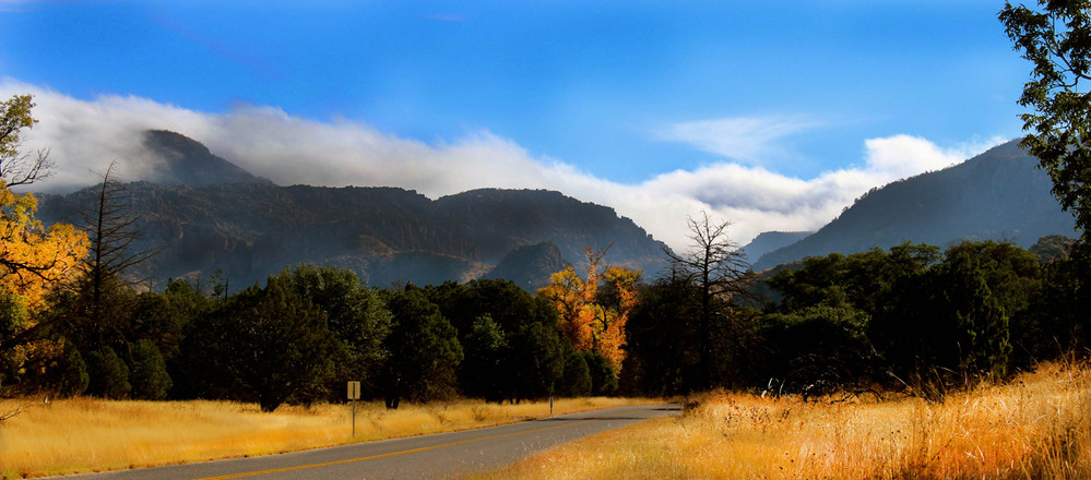
Cover photo: NPS / Katy Hooper. Information checked October 21, 2026.
What changed when Chiricahua became a national park?
The designation changed on October 20, 2026, after more than a century as a national monument. The official NPS announcement says hiking, camping, scenic drives and wildlife viewing will continue. The landscape includes volcanic rock formations, varied mountain habitats and the homeland of the Chiricahua Apache.
A new name does not mean every practical detail has changed overnight. Older maps and some official page text may still say “National Monument.” Use the park’s current visitor information for fees, road conditions and access instead of treating an old label as proof you have the wrong place.
Where is Chiricahua National Park?
Chiricahua is in southeastern Arizona, near Willcox. It is a separate trip from Sedona and Flagstaff, so I would give it its own overnight rather than attach it to a packed Northern Arizona weekend.
From Willcox, the NPS driving route follows Highway 186 for 32 miles, then Highway 181 for another four miles to the park. There is one entrance, and the paved road ends at Massai Point. It does not continue across the mountains to Portal.
Fill the tank or charge the car and buy lunch before the final drive. Fuel and groceries are roughly 30-40 miles from the park. Download your map, too. Your phone should be a camera here, not your entire navigation strategy.
Entrance fees and parks passes: what should you budget?
As checked October 22, 2026, the official NPS fees page lists no entrance or parking fee, and no entrance pass is currently required. Treat that as today's policy, not a promise that future visits will remain free.
For a future trip, leave room in your budget for a possible NPS entrance fee. If fees are introduced, check whether a valid America the Beautiful pass would cover your admission or whether you need to pay the park's entry fee. NPS has not announced a future entrance-fee amount or start date on its current fees page. Recheck fees and accepted passes before departure. Camping has separate fees and reservations.
What should you do on a first visit?
My suggested plan is one scenic drive, one walk that matches your group, and enough spare time to keep stopping for the view. You do not need to turn a beautiful day into a mileage competition.
Start with the visitor center and Bonita Canyon Drive
Ask about the day’s road and trail conditions, then follow the eight-mile scenic drive toward Massai Point. NPS describes this as the route to panoramic rock-pinnacle views. The park’s scenic overview is a good introduction before you arrive.
Choose your walk before you start
Short and paved: Bonita Creek Loop is 0.2 mile round trip and listed as accessible in the park guide.
Big views, shorter outing: Massai Point Nature Trail is a half-mile loop. Only part is paved, so do not assume the entire loop is step-free.
A proper hike among the rocks: Echo Canyon Loop is 3.3 miles with about 560 feet of elevation change. The park recommends allowing two to four hours.
These distances come from the 2026 NPS hiking guide. Download it before you lose service. Heart of the Rocks is a longer commitment, not a quick add-on because you spotted an enticing trail sign.

Big Balanced Rock. Photo: National Park Service. Reaching this formation requires a longer hike than the short scenic-drive stops.
The details that can change your day
Vehicle size matters: NPS prohibits vehicles longer than 24 feet past the campground. Check its directions page before bringing an RV or trailer.
Mountain weather is real: The park can see snow and ice from November through April. Pack layers and check the conditions page.
Do not count on a hiker shuttle: NPS describes it as limited and dependent on staffing and weather. Plan a route you can complete without it unless the park confirms service.
Dogs need a different itinerary: Most hiking trails are not pet-friendly. Review the park’s pet rules before choosing a trail.
Is a day enough?
A full day works well for the scenic drive and a manageable hike. An overnight gives you more breathing room and avoids combining a long drive home with a tired finish. For a first trip, I would prioritize seeing the park well over collecting every trail name.
If this is part of a larger Arizona vacation, remember how far apart the state’s landscapes are. My Sedona versus Flagstaff guide helps with the northern part of the trip. Chiricahua deserves its own space on the calendar.